Geographical location of Cap Corse
The Cap Corse is a peninsula situated in the north east of Corsica. It extends for approximately 40kms (from north to south) and is 12kms to 15kms wide. The Corsicans call it the island on the island.
Tourist attraction of Cap Corse
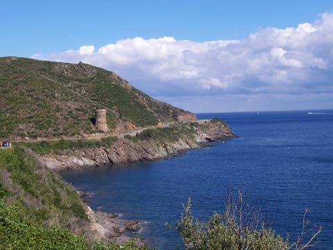
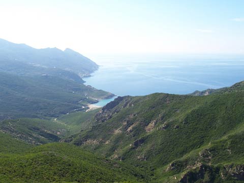
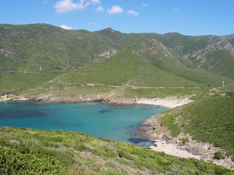
The D80 main road encircles the Cap Corse for 110kms (from Bastia to Saint-Florent)
offering a superb panorama, alternating between beaches, wild creeks and splendid scenery.
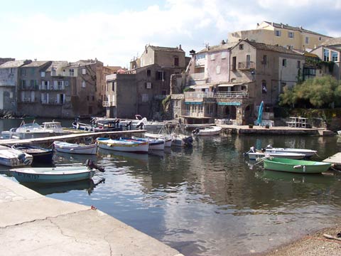
Erbalunga is a small charming village built beside the
water about 9kms from Bastia.
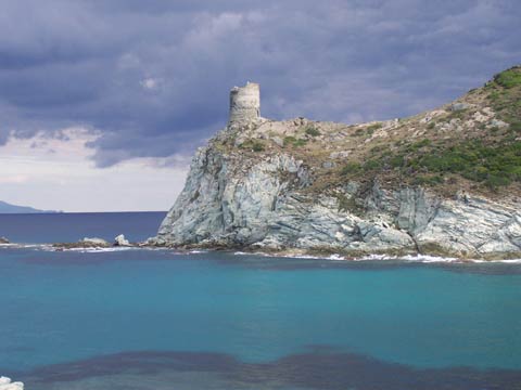
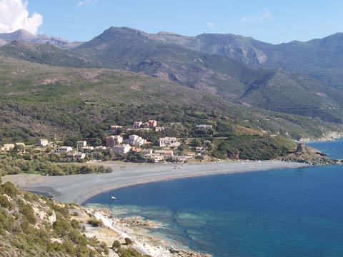
In Macinaggio, the customs pathway (sentier des douaniers) between the
chapel Santa-Maria and the tower of Santa-Maria di a Chjapella (under water and half destroyed) done in roughly 1 hour. No special
difficulty encountered during this walk which is rather nice as you can stop for a swim almost anywhere, really nice.
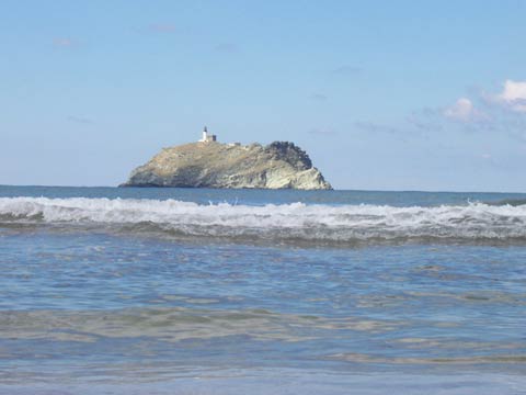
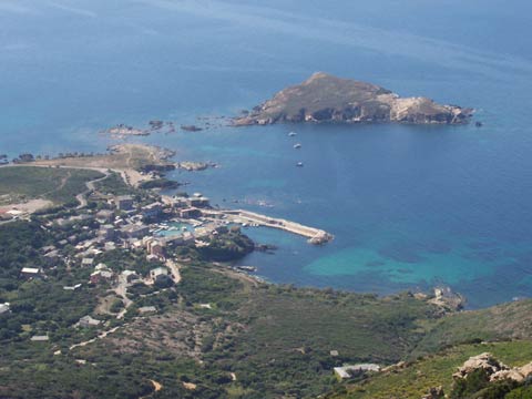
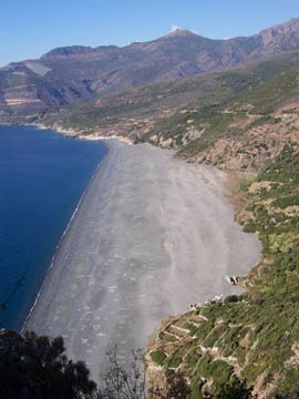
In Barcaggio (Cap
Corse point), the small walk to the tower of Agnello isnt so good. On top of everything else, the posidonies (aquatic plantes) are entangled
on the beach and makes a bad smell. We dont feel like swimming in that ! Maybe the beach is cleaned in july and august for the tourists ?
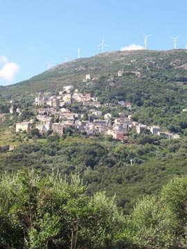
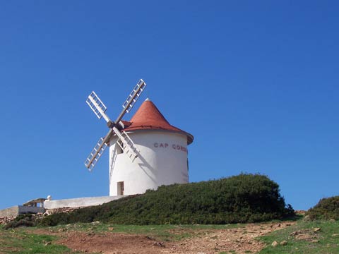
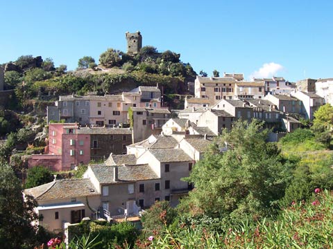
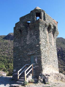
We go then to Rogliano, perched up in a hill and dominating the coast, just before arriving at the top of Serra. A small walk to the
Mattei windmill where there is a panoramic view of the port of Centuri and the island of Giraglia.
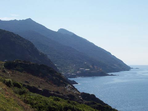
We continue
down the Cap Corse on the east side where everything is untouched and beautiful...except an abandoned factory beside the sea at Canari
which completely spoils the view. We pass in front of the asbestos beaches at Albo and Nonza (really strange !) before arriving in
Nonza and again, we fall for the charm of this village perched on top of a cliff overlooking the sea.
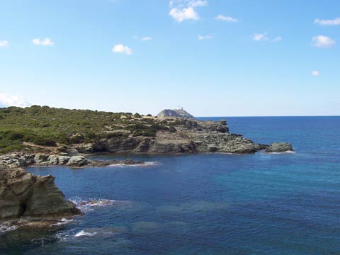
Photos of Cap Corse